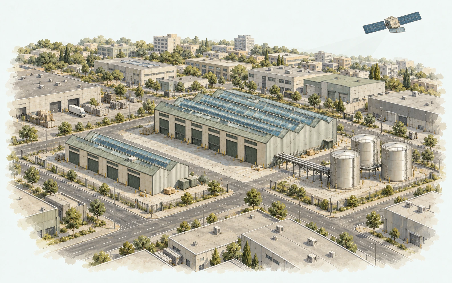
Selected examples of our team’s work applying InSAR, LiDAR, photogrammetry and three-dimensional analysis.
Landslide monitoring
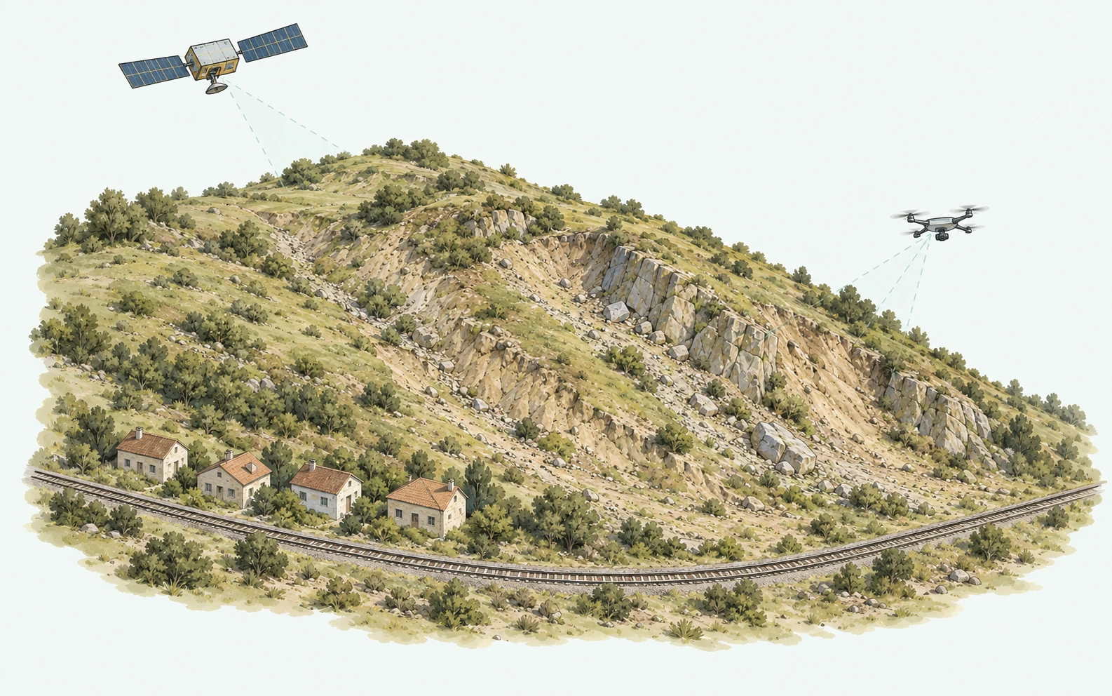
Landslide analysis with multiple data sources and monthly monitoring
Historical movements at the landslide site are assessed using LiDAR data, AI-assisted landslide susceptibility assessment and Sentinel-1 analyses. The temporal behaviour of these movements is monitored monthly using satellite radar data, providing regular data for site assessment.
Energy facilities
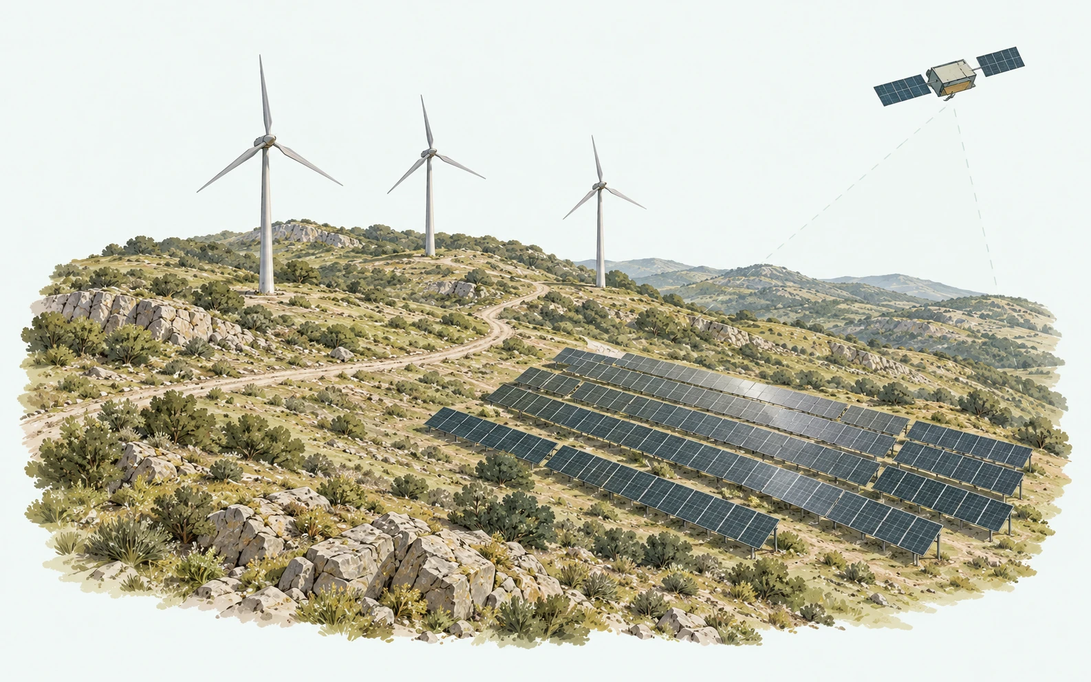
Ground movement assessment at solar and wind energy facilities
Site selection for solar power plants and wind turbines and the effects of various natural hazards on these sites are investigated using InSAR, photogrammetry, LiDAR and natural hazard susceptibility analyses. The findings are presented to support geological assessment.
Rockfall
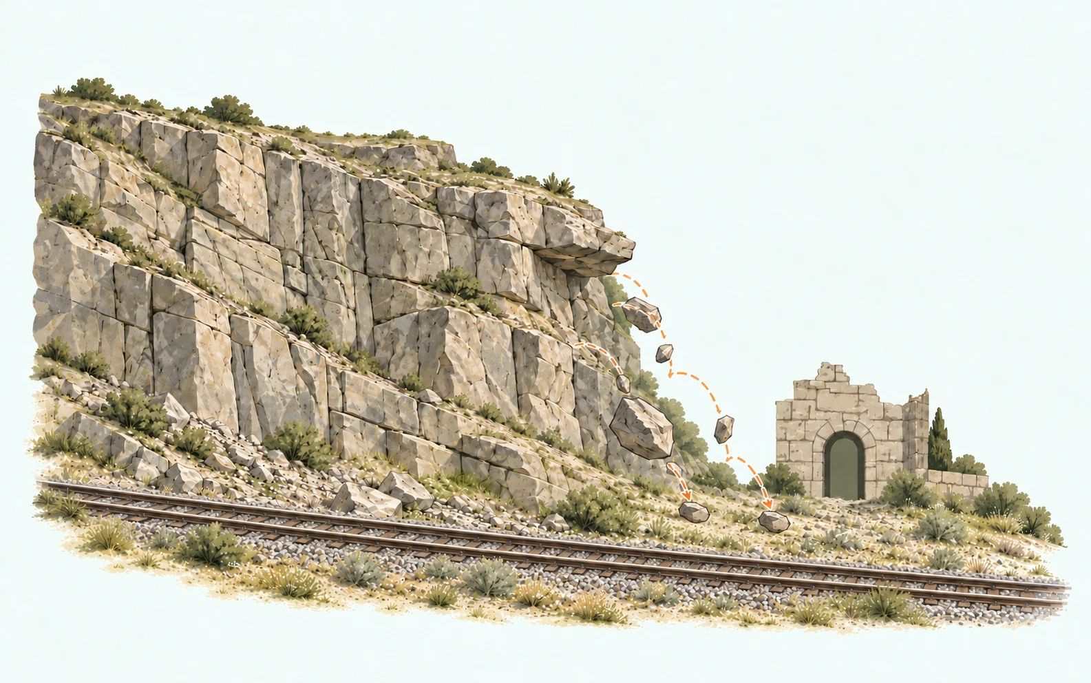
Digital twin-based rockfall analysis
A digital twin of the site was developed within a collaborative project and used for rockfall analysis to provide a basis for geological and geotechnical studies. The three-dimensional model supported the assessment of rockfall processes in relation to terrain geometry.
Sinkhole areas
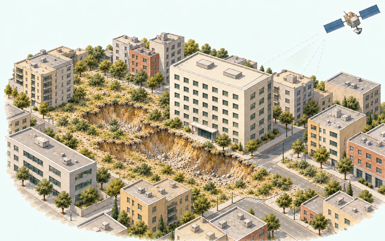
Analysis of historical displacements associated with sinkholes
Historical displacements associated with sinkholes were analysed using InSAR. The findings were presented to support assessment of the deformation history of the study area.
Multi-source analysis
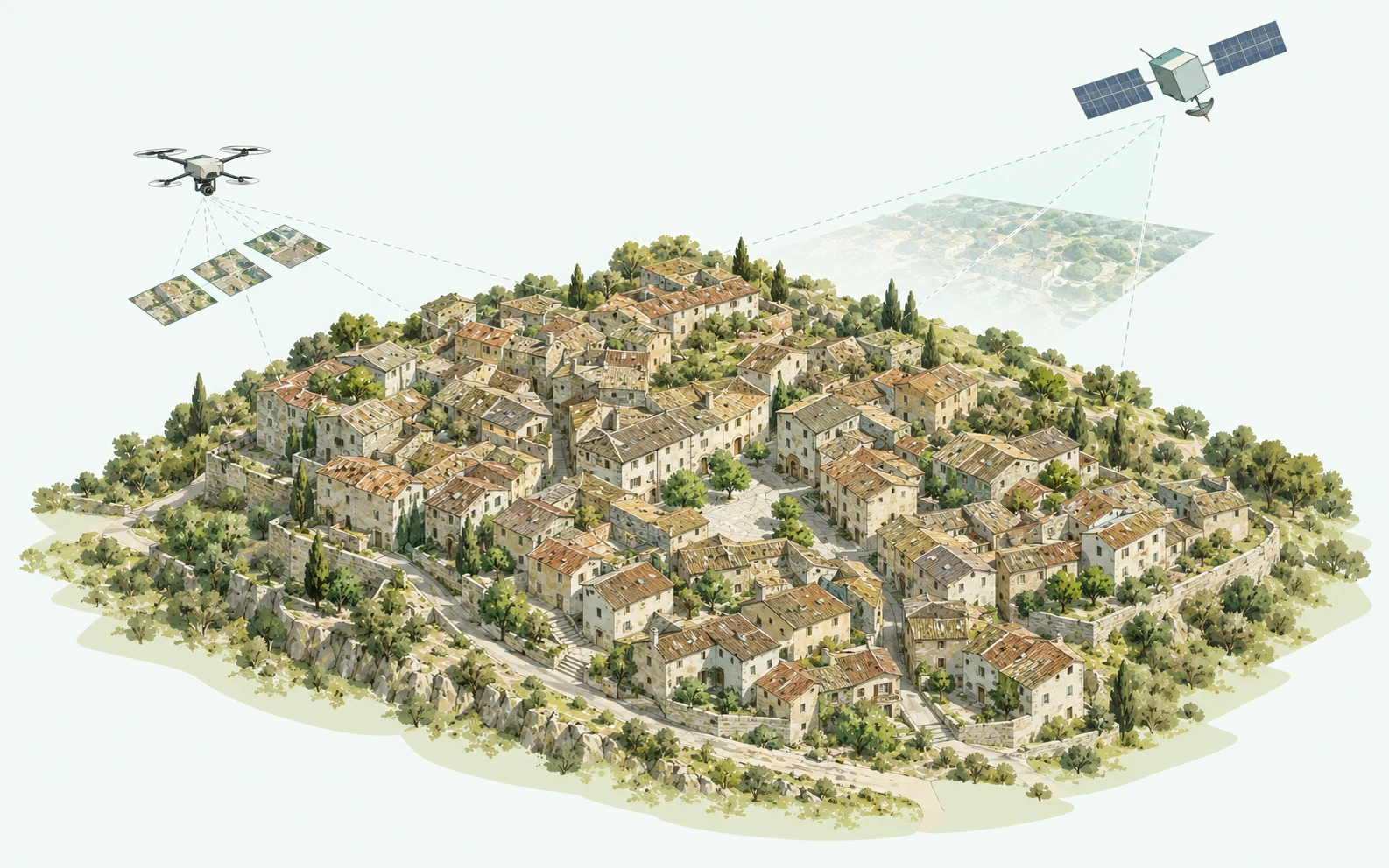
Integrated landslide assessment using LiDAR, photogrammetry and satellite data
Drone photogrammetry, LiDAR, Sentinel-1-based analysis of historical ground movement and landslide susceptibility assessment were integrated to assess landslide areas. The combined datasets enabled terrain geometry and movement history to be evaluated together.
Infrastructure construction
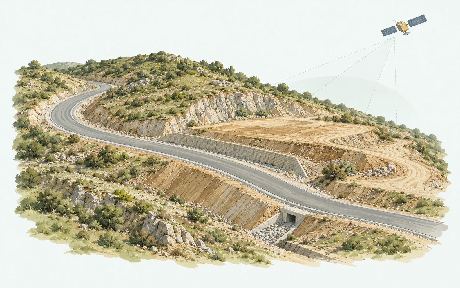
Assessment of deformation at an infrastructure construction site
Historical ground movement was analysed using InSAR to assess deformation observed at an infrastructure construction site. The results were prepared to support geological interpretation of the site.
Dam and surroundings
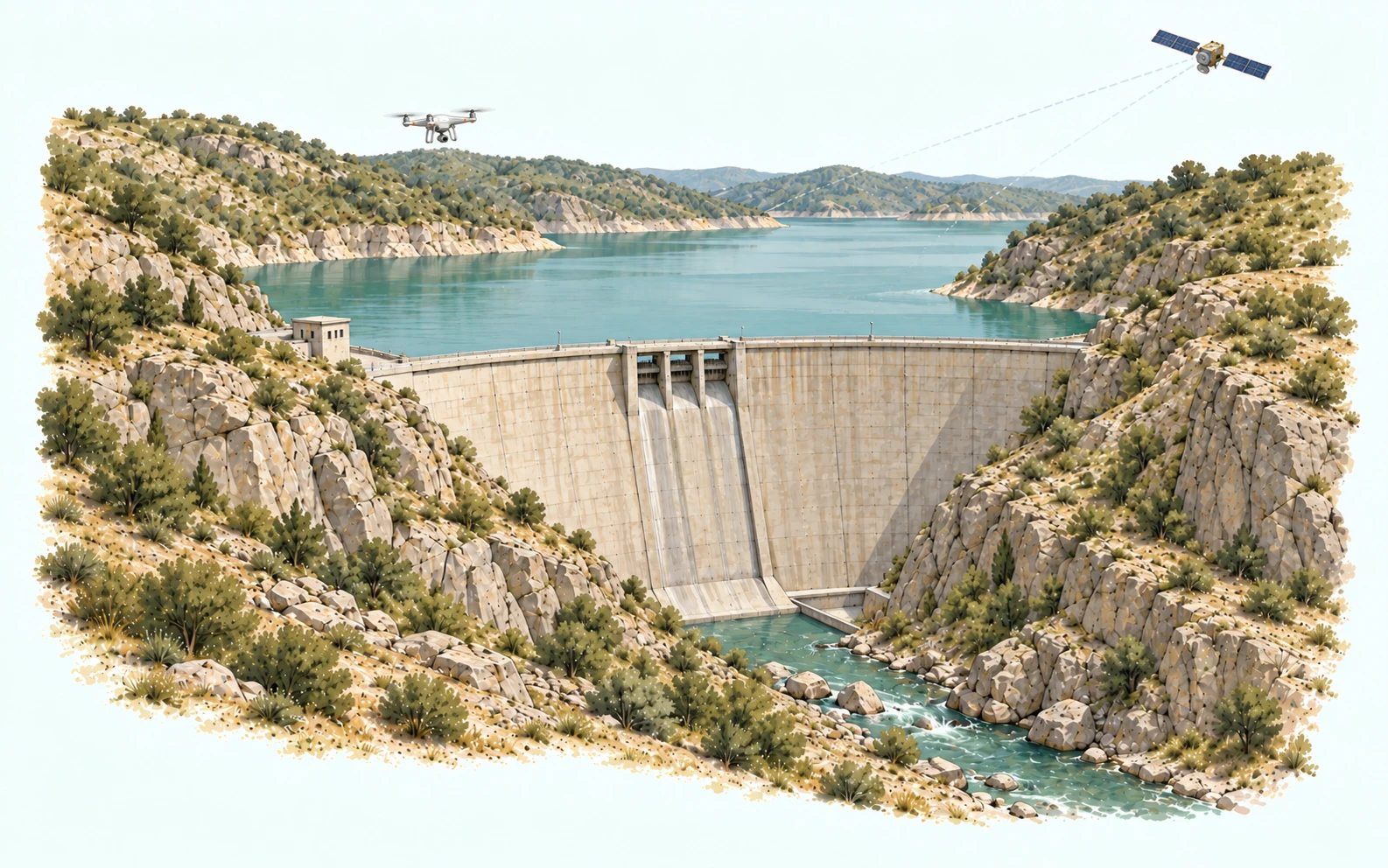
Deformation analysis and monitoring of dams and their surroundings
Deformation of the dam bodies and surrounding ground movement were analysed at two separate dams, one completed and the other under construction. The studies combined archival aerial photogrammetry, drone data and InSAR analysis.
Building and surroundings
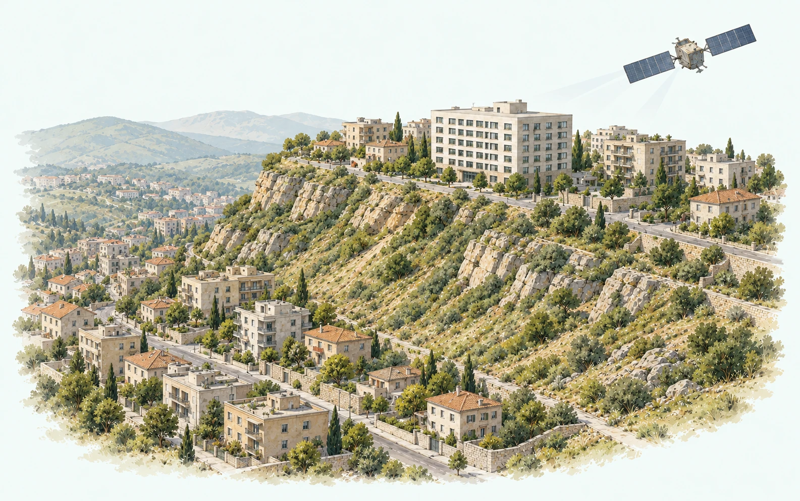
Building deformation and possible landslide movement
A 10-year InSAR analysis investigated the relationship between deformation observed in a large building and possible landslide movement affecting the building and its surroundings. In a separate study, historical ground movement was analysed using InSAR to investigate a possible relationship between post-earthquake building deformation in a residential area and pre-existing landslide movement. The findings of this second study were interpreted by the collaborating geology expert.
Ground settlement
Historical movement analysis and continuous monitoring for building and road deformation
A 10-year InSAR analysis was conducted to assess deformation observed in buildings and roads in an industrial area. The study investigated the relationship between this deformation and differential ground settlement, as well as possible contributing factors. Ground movement in the area is monitored continuously.
Project-specific analysis and monitoring
Share the study area, available observations and your assessment requirements. We can then evaluate an analysis and monitoring approach suited to your project.