Mines and quarries
Monitoring ground and slope movements, and assessing surface and volume changes.


We analyse ground movements and natural hazards, producing maps, time series, technical reports and web-based tools for site assessment, monitoring and engineering decisions.
Solutions
Monitoring ground and slope movements, and assessing surface and volume changes.
Deformation and stability assessment for dams, highways, railways and infrastructure corridors.
Site assessment, prioritisation and technical reporting for landslides and other natural hazards.
Services
We integrate satellite, airborne and field data for mining, energy, infrastructure and engineering projects in Türkiye.
Deformation analysis using InSAR time series for landslides, areas at risk of ground subsidence and sinkholes, mining sites, dams, highways, railways and major infrastructure corridors. Millimetre-level movements can be analysed where data and site conditions are suitable.
Landslide susceptibility and hazard maps; multi-hazard assessment for earthquakes, floods, sinkholes and avalanches. Definition of site-specific early warning thresholds and prioritisation outputs for disaster management.
UAV, LiDAR and image-based 3D terrain analysis, topographic modelling, volume change assessment, rock mass analysis and deformation assessment. Retrospective 3D modelling using archived photogrammetric imagery to investigate surface changes between periods.
Web-based monitoring dashboards, digital twins, time-series analysis, site-specific alarm threshold definition and visual reporting tools. Project-specific geospatial analysis, AI applications and software development.
Multi-sensor analysis: We integrate satellite SAR time series, imagery, LiDAR, photogrammetry, field measurements and engineering data in a shared analytical framework for monitoring, risk prioritisation, damage assessment and reporting.
Projects
Landslide monitoring
Historical movements in landslide areas are assessed using LiDAR data, AI-assisted landslide susceptibility assessment and Sentinel-1 analyses. The temporal behaviour of these movements is monitored monthly using satellite radar data.
Explore this studyEnergy facilities
Site selection for solar power plants and wind turbines and the effects of various natural hazards on these sites are investigated using InSAR, photogrammetry, LiDAR and natural hazard susceptibility analyses. The findings are presented to support geological assessment.
Explore this studyRockfall
Digital twins of sites are developed and rockfall analyses are performed to provide a basis for geological and geotechnical studies.
Explore this studyTechnical outputs
Examples of maps, time series, 3D models and interfaces. Open any image to view it at full size.
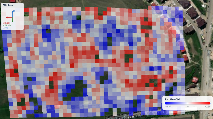
Mapping deformation velocities and cumulative displacements using satellite SAR data.
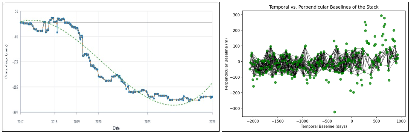
Location-based deformation time-series analysis and monitoring.
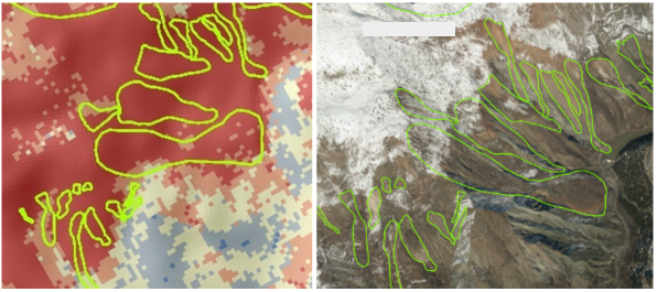
Hazard and susceptibility maps for landslides, rockfall, sinkholes, liquefaction, avalanches, floods and earthquakes.
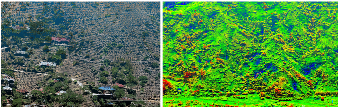
Three-dimensional model generation and surface change assessment using LiDAR, drone imagery and archived photogrammetric data.
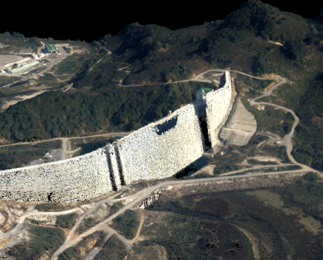
Stability assessment and monitoring using multi-platform and multi-sensor datasets.
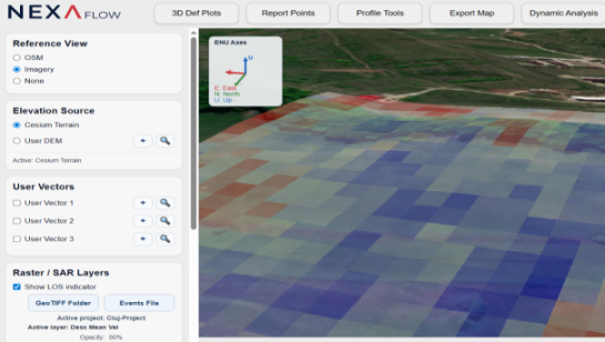
Web-based user access and project-specific analytical interfaces.
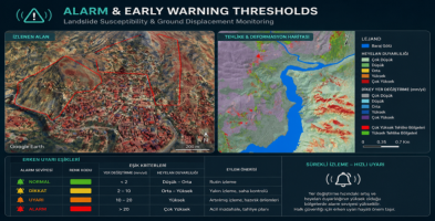
Definition of site-specific alarm and early warning thresholds for natural hazard monitoring systems.
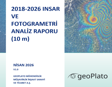
Technical reports integrating natural hazard, photogrammetry, LiDAR and InSAR analyses.
The GeoPlato approach
We apply our R&D experience in remote sensing, InSAR, LiDAR, photogrammetry, AI and geospatial software to engineering, infrastructure monitoring and disaster management. We also use optical and thermal satellite data in our analysis and assessment work.
Field experience in InSAR deformation, landslide monitoring, LiDAR and infrastructure stability studies, with assessments adapted to each project’s data, scale and site conditions.
A remote sensing and engineering approach supported by scientific publications, technical reports and verifiable analytical methods.
Software expertise that turns analyses into technical reports, project-specific web monitoring dashboards and decision support platforms.
Scientific publications and research profiles:
Let’s review your site, available data and expected outputs together, and identify a monitoring and analysis approach suited to your project.