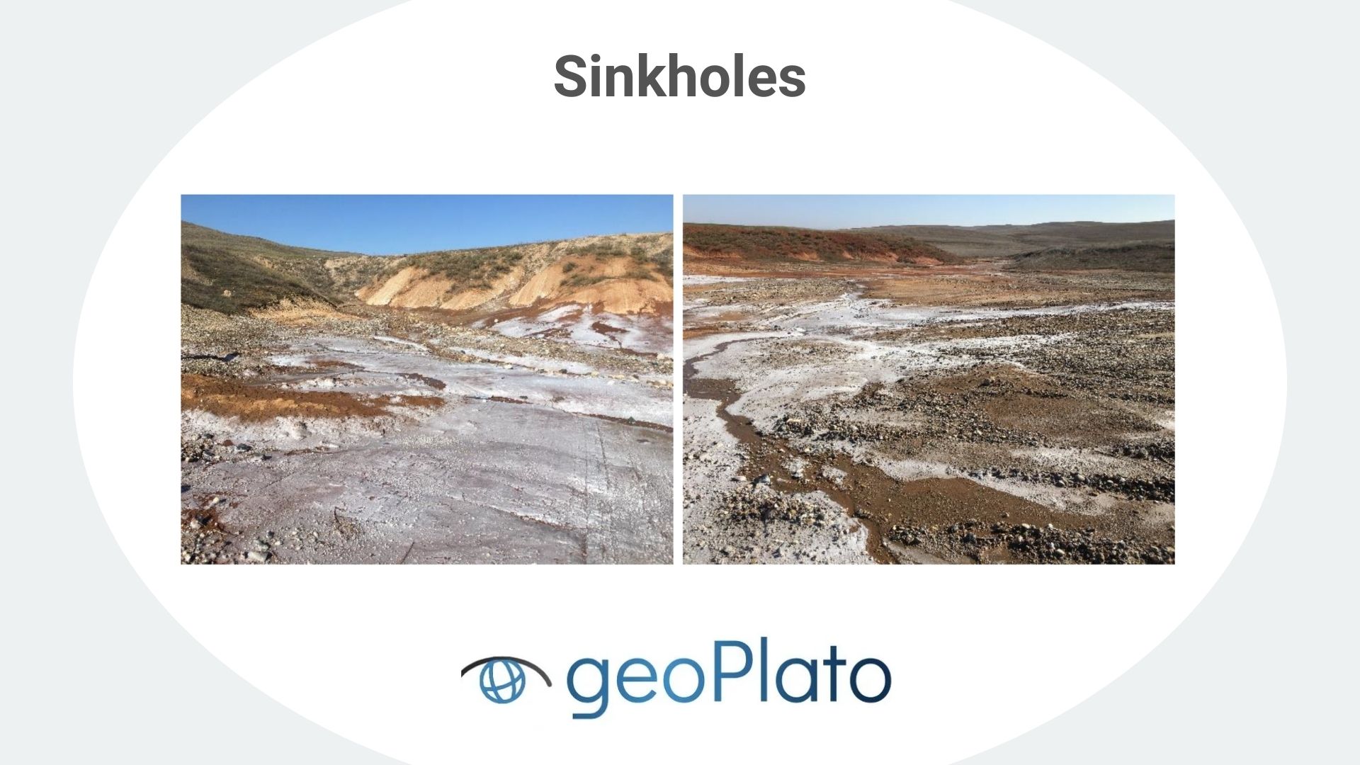
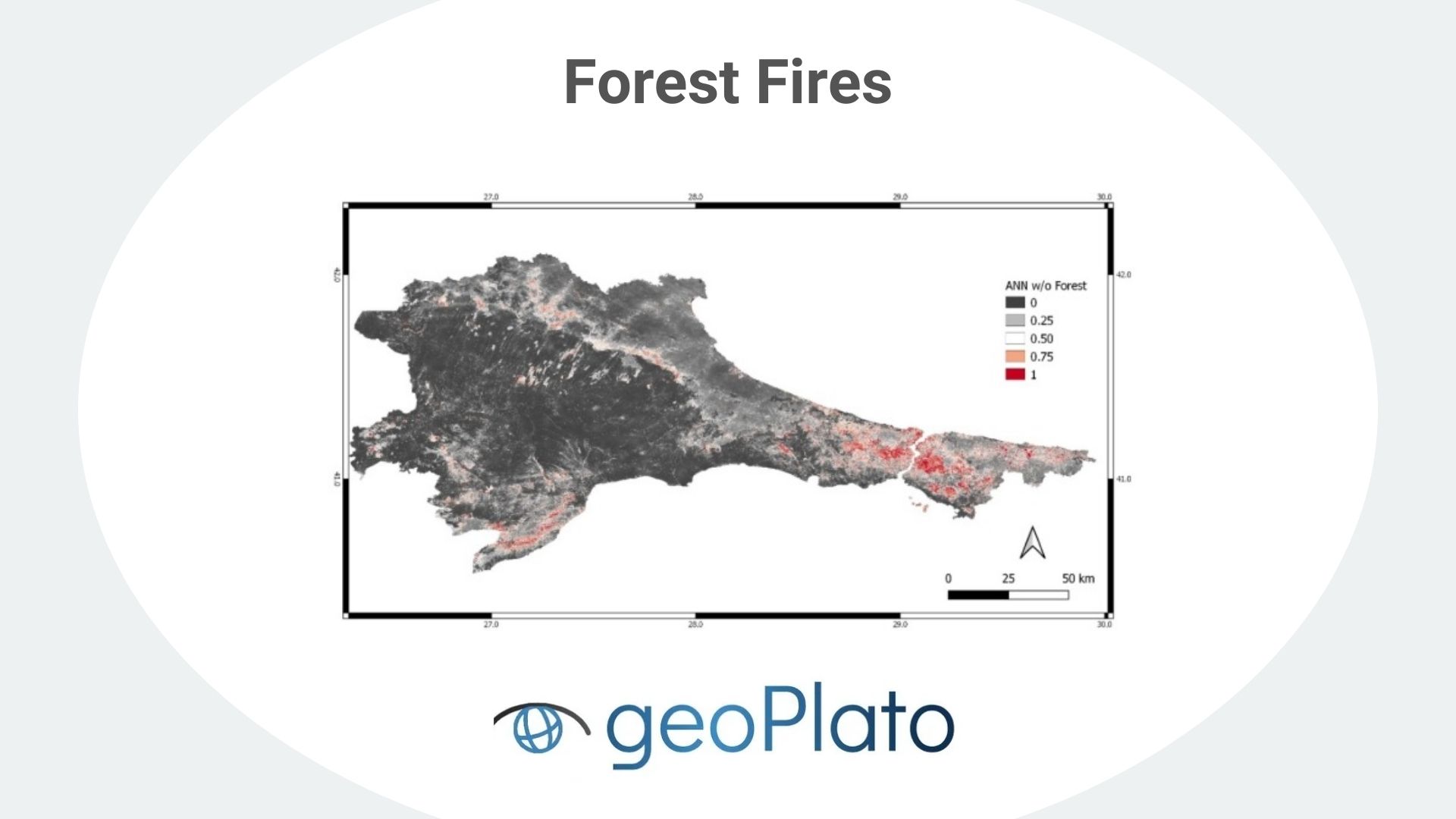
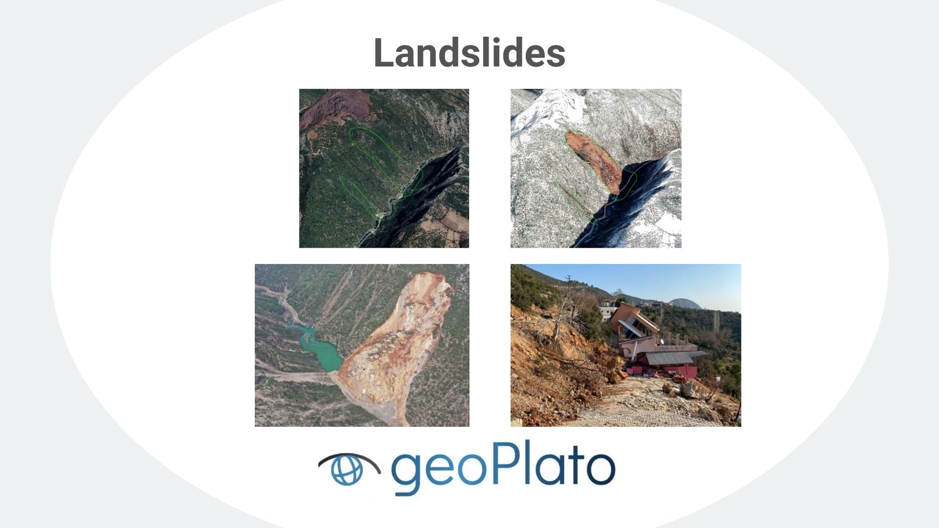
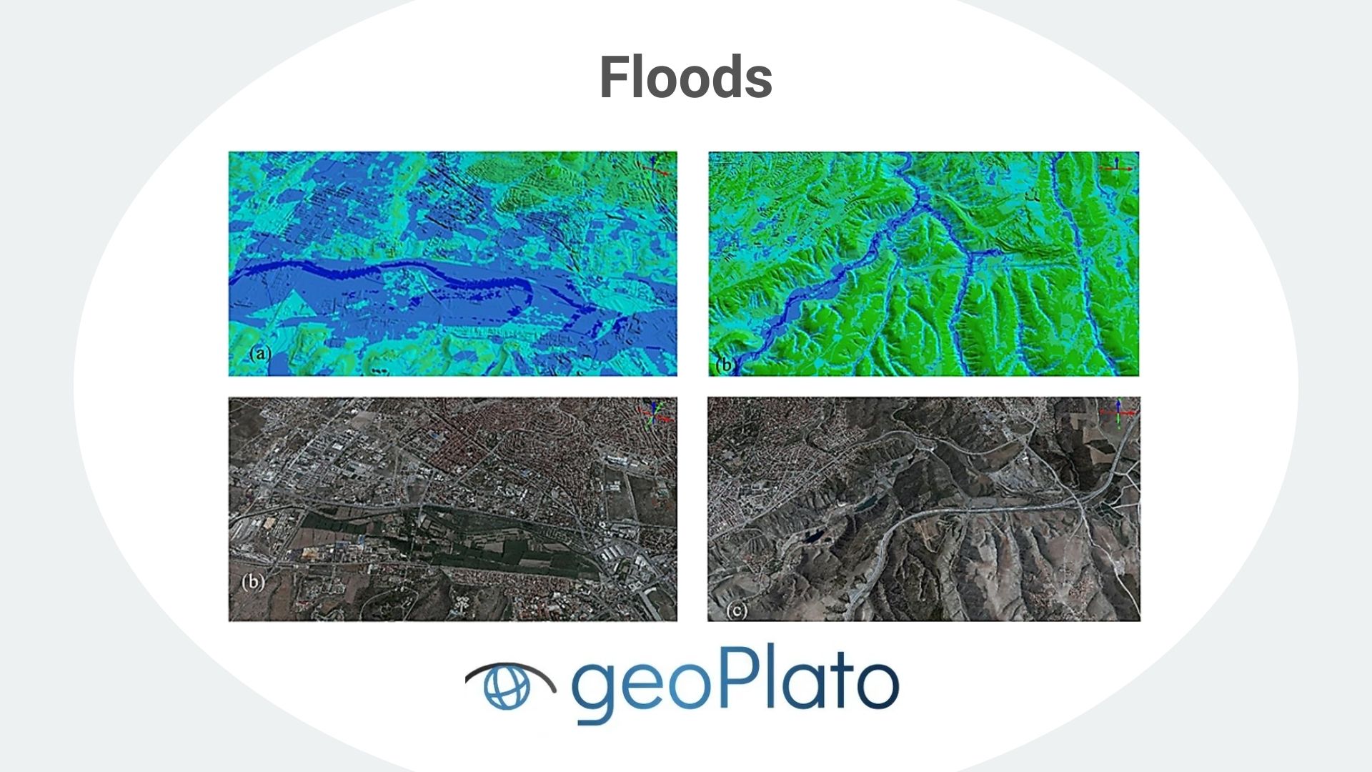
Our Services:

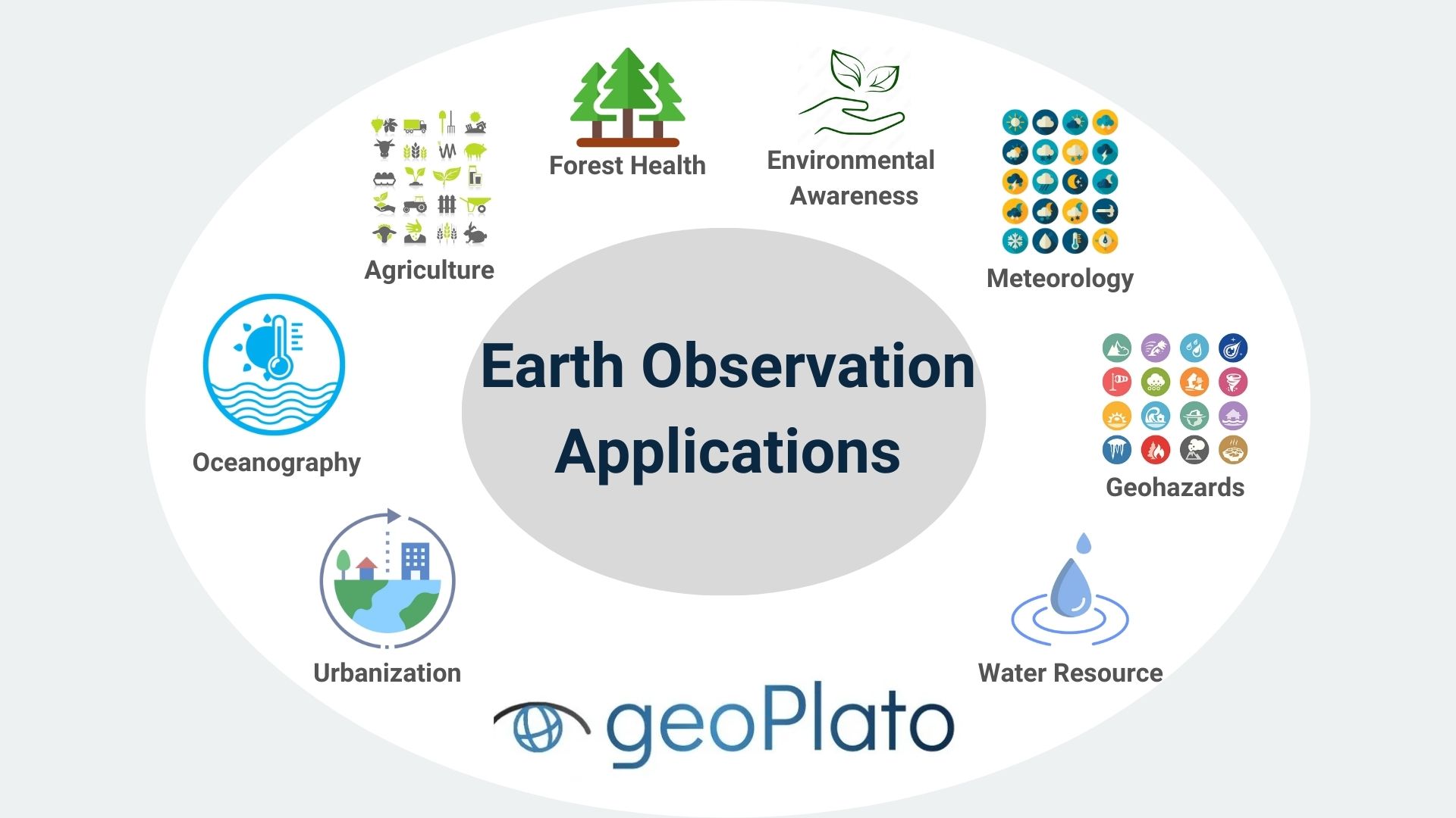
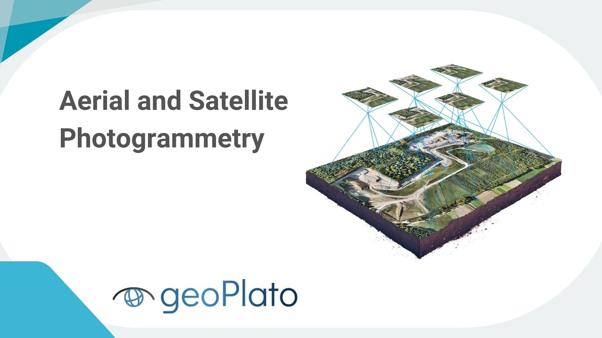
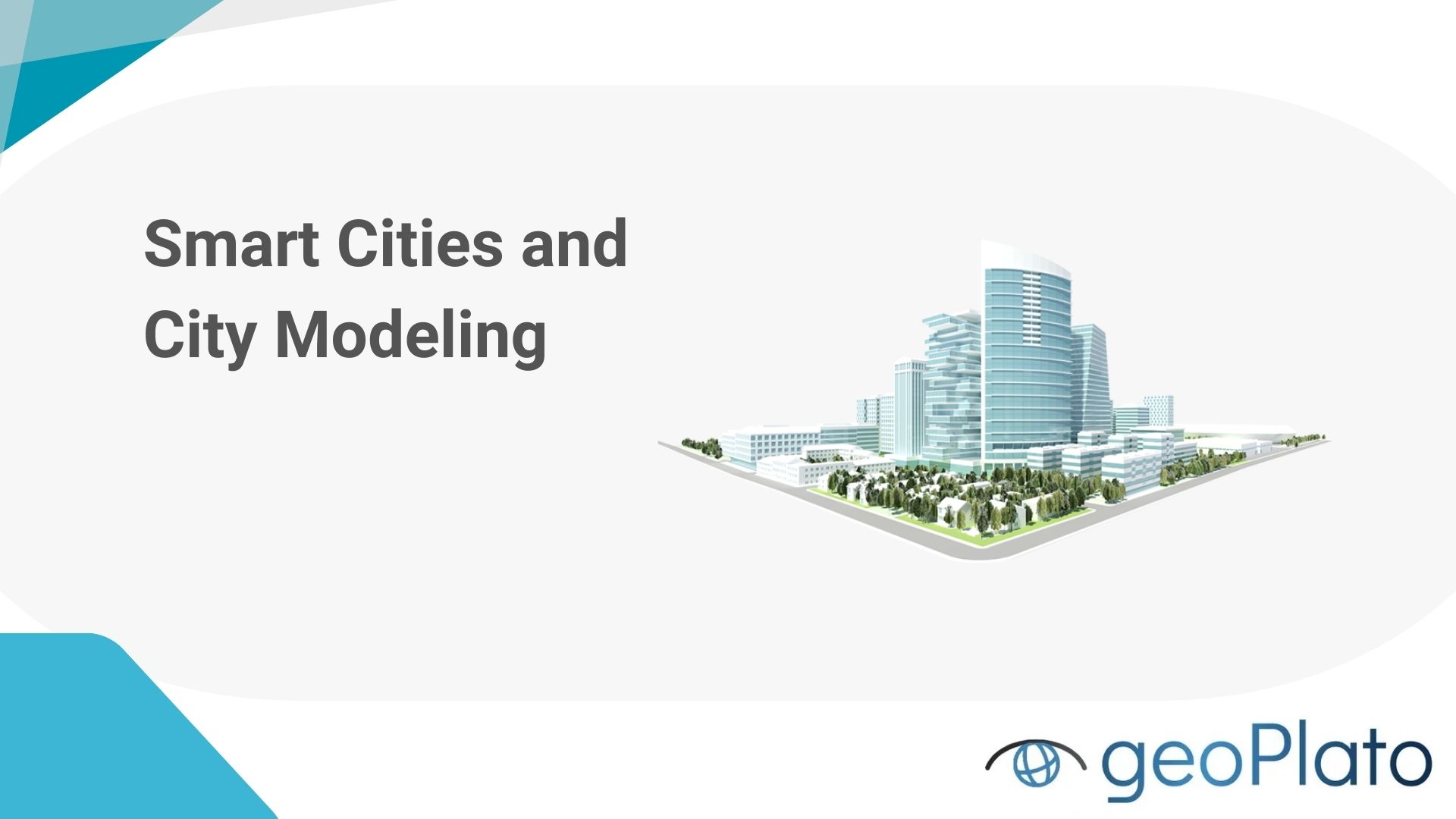
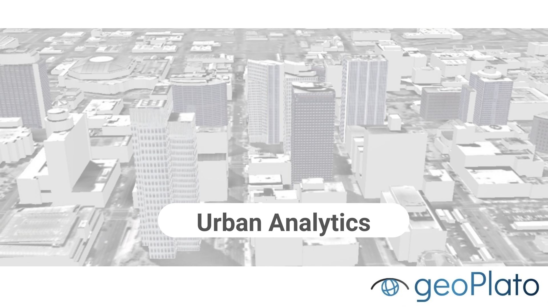
Welcome to geoPlato Engineering, where cutting-edge technology meets innovative solutions for a diverse range of geospatial challenges. At geoPlato, we specialize in delivering comprehensive services that harness the power of satellite imagery, earth observation data, and advanced analytics. Our expertise spans multiple domains, ensuring we cater to the dynamic needs of industries such as urban planning, agriculture, disaster management, and more.


View Our Projects

Satellite Image Analysis:

Leverage the latest in satellite technology for precise and insightful image analysis.

  • Earth Observation Data Analysis

    Extract meaningful insights from vast sets of earth observation data using state-of-the-art analytical techniques.

  • Software Development & Services

    Tailor-made software solutions designed to enhance your geospatial capabilities and streamline processes.

  • SAR and LiDAR Data Analysis

    Harness the potential of SAR and LiDAR data for comprehensive analysis and visualization.

  • Optical Sensors Cal/Val Services

    Ensure the accuracy and reliability of optical sensors through our calibration and validation services.

  • Aerial and Satellite Photogrammetry

    High-precision mapping and measurement through advanced photogrammetric techniques.

Smart Cities:

Stay ahead in urban development by leveraging the latest technology. Our precise and insightful image analysis contributes to the realization of smart cities, ensuring intelligent urban spaces for a sustainable future.

  • Smart Cities and City Modeling

    Contribute to the development of intelligent urban spaces through our smart city and city modeling services.

  • Geodatabase Management

    Efficiently organize and manage geospatial databases for optimal data utilization.

  • Urban Analytics

    Derive meaningful insights from urban data, contributing to informed urban planning.

  • GeoAI Services

    Integrate artificial intelligence into geospatial applications for enhanced decision-making.

  • Construction, Land Cover, Agriculture

    Specialized services catering to construction projects, land cover analysis, and precision agriculture.

Disaster Management and Information Systems:

At geoPlato Engineering, we specialize in comprehensive geo-hazard assessment and mitigation services, addressing a spectrum of natural hazards, including landslides, floods, sinkholes, and snow avalanches. Our multidisciplinary approach combines cutting-edge technology, data analytics, and geotechnical expertise to enhance resilience and safeguard communities and infrastructure.

  • Geohazard Modeling and Risk Analysis

    Mitigate risks through advanced geohazard modeling and comprehensive risk analysis. Our detailed approach helps you understand and address potential hazards, ensuring the safety and resilience of your projects.

  • Snow Avalanches

    Conduct thorough avalanche risk assessments, considering terrain, snowpack conditions, and historical data using satellite data and on-site sensors.

  • Sinkholes

    Using ground-penetrating radar, satellite imagery, and geological surveys, we detect and monitor areas susceptible to sinkholes.

  • Forest Fires

    Conduct detailed analysis of environmental factors, including weather patterns, vegetation types, and historical fire data. Implement GIS-based mapping to identify high-risk areas prone to forest fires.

  • Landslides

    Conducting thorough geological surveys and terrain analysis, our landslide experts assess the risk factors contributing to potential landslides. Implement continuous monitoring using satellite data and ground sensors.

  • Floods

    Through hydrological modeling and analysis, our flood experts create detailed flood risk maps that identify vulnerable areas based on factors like topography, river discharge, and precipitation patterns.

  • Autonomous Systems

    Explore the potential of autonomous systems in geospatial applications. Our expertise in this field opens up new possibilities for efficiency and innovation in your geospatial processes.

View Our Projects

Collaborations